This section describes more fully the landscape of Slighhouses and its locality, providing some indication of the changes James Hutton made to it over 200 years ago through his endeavours to improve its productivity.
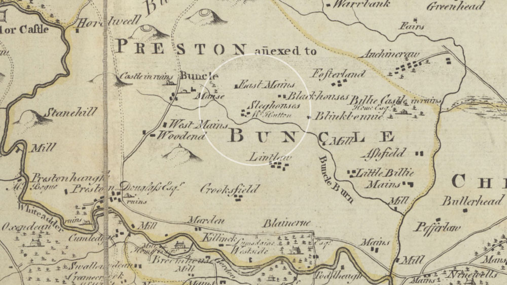
Studying contemporary map evidence (Roy’s Military Map c 1750, the Armstrong Map 1771, and the Blackadder Map 1797), together with Hutton’s own descriptions from letters and his ‘Elements of Agriculture’ give us some clue of what Slighhouses may have looked like when he farmed it, and also the remnants of this eighteenth century landscape which still remain today. This has been supplemented by limited records of his farming practices, field observations and aerial photographs.
Map evidence reveals changes in the wider locality of Slighhouses; from the open landscape of runrig (evident in Roy’s map) to gradual enclosure forty years later, evident in Blackadder’s map.
Slighhouses is a low-lying arable farm with large open fields traversed by the minor Chirnside to Preston and Grantshouse road. It is today a very different place to what it was when James Hutton started farming it in 1754. It was a little larger then, extending to some 200 acres. He undoubtedly made a considerable impact on its landscape character, particularly by creating fields with boundaries (enclosure), and the vegetation changes which would have come about from drainage of, for example, marshy ground. He cultivated the soil growing turnips and cereals, and kept cattle and undoubtedly sheep.
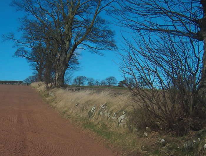
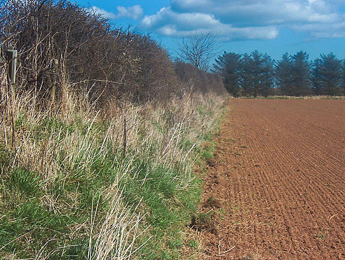
Enclosure by creating field boundaries physically and visually changes open landscapes. How did Hutton enclose his land and what evidence of it exists today? We find that the farm boundary has both hedgerows, banks and stone dykes (or walls). There are no internal field boundaries (the field-system having evolved through a series of enclosures and enlargements since Hutton’s time). Its northern boundary is mostly banked hedgerow and with trees and tree stumps.
Its eastern boundary coincides with the Draden Burn (also known as the Blackhouses Burn), where it emerges from an underground pipe, flowing south to the Lintlaw Burn. It is lined with planted conifers, mature broadleaves and willow scrub, particularly in the vicinity of Hutton’s marl pit (known locally as the Marl Hole). The farm’s southern boundary is banked and ditched to the east of the Chirnside road and defined by a substantial wall (which appears to be nineteenth century in origin), where it continues westwards. The western boundary is mostly fenced but also coincides with the emergence of a small burn from an underground pipe and mature broadleaved woodland.
We know from his ‘Elements of Agriculture’ that Hutton did not approve of hedgerows, being “an expensive operation occupying too much ground”. Enclosures he felt, “should be by ditches and hurdles as pasture is important for fertile ground”. He also felt that “the making of fencable enclosures will be of great benefit to land for the making of farmhouses”.
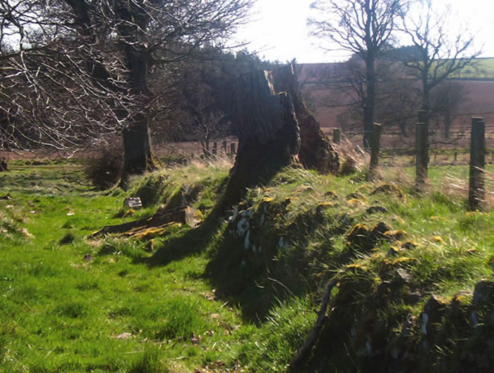
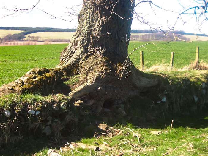
It is certain that the hedgerows on the farm today are post-Hutton, but he undoubtedly created the boundary banks, possibly for securing his cattle which were traditionally enclosed in this way. He will have probably constructed wooden hurdle fences on top of the boundary banks. Judging by the growth rings of the tree stumps, which suggest ages of some 200 years, it appears that he may well also have planted trees along his boundaries. The quote above suggests that he considered the timber a valuable resource for building farmhouses.
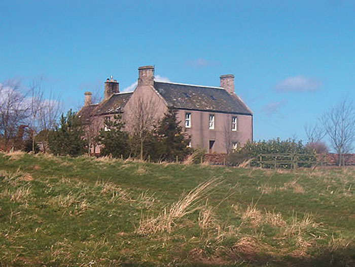
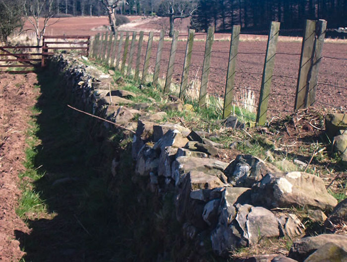
He built the farm house in a traditional style and also a cattle court and probably houses for his farm labourers. The cattle court and cottages no longer exist. The small policy area in front of his house is enclosed by a stone-faced dyke (the style known locally as Hutton’s Dykes), the tops of which were planted with trees (ash and sycamore), possibly by Hutton himself – judging by the ring counts of old stumps. Another of these dykes encloses the southern most field adjacent to Lintlaw Burn, also including a section which has been planted with trees.
The main entrance to the house and farm was not as it is today from the Lintlaw road to the east, but from the south, off the old Bonkyl Kirk – Chirnside road, much of which still exists. An old gateway of Red Sandstone, with a gate-post of Greywacke rock still exists – more than likely constructed by or for Hutton – tribute, no doubt, to the rock constituents of his geological unconformities and the strong relationship between his farming and geological activities. Ash trees (with evidence of coppicing), still line the route.
Today Hutton’s marl pit and associated rough ground, scrub and planted trees, are an important landscape and habitat feature in the intensively farmed landscape of the locality. In Hutton’s time however, the epic extraction of marl as a soil improver, and the construction of the bank (which is still evident), to prevent flooding from the Draden Burn will have been the focus of considerable activity and ground disturbance. He is said to have demonstrated the innovative Suffolk plough in the field south of the pit, known today as ‘Black Dub’ (or Black Hole – after the water-filled pit).
To the west of the pit is another area of this large enclosure, known as Blinkbonny. This name has persisted since Hutton’s time when it was the location of the house in which his sisters where supposed to have lived. Other than a banking in the adjacent track and a level area of ground to suggest its possible location, there is no material evidence today of its existence.

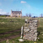 James Hutton was the third generation of his family to farm here. He built the house in traditional style and revolutionised Berwickshire farming by treating agriculture as a science. Aspects of his farming legacy are still evident today and his interest in geology is seen in the old gateway to his house, which is constructed in rocks of Old Red Sandstone and Greywacke.

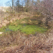 Now a habitat for woodland and wetland plants and animals, the excavation from which Hutton extracted marl [a lime-rich earthy material] to improve the soils at Slighhouses. At the time, it will have been larger than it is today. Nonetheless, it is an impressive testimony to the physical hardship endured by those who farmed before mechanisation. As he acknowledged himself “I find myself already more than half transformed into a brute”. Quantities commonly spread from the Slighhouses marl pit were “sometimes to the extent of 400 two-horse loads per acre” .
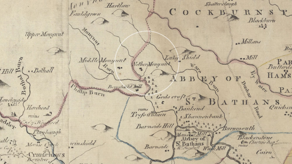
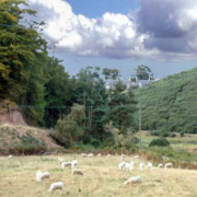 This is James Hutton’s upland farm, located in the secluded Monynut Valley and best accessed from the southern end either via Whiteburn (NT 761642) or the beautiful Abbey St Bathans (NT 755622). Hutton leaves no record of his activities here, but he certainly did farm here. Locals still refer to ‘Hutton’s Dykes’, the characteristic walls he built both here and at Slighhouses. It is highly probable that he will have used Nether Monynut to farm sheep, for which it is still predominantly used today.